Katja Koch · 10 September 2026
Ancient Routes of Woldgate Spark Digital Mapping Effort by Yorkshire Historians
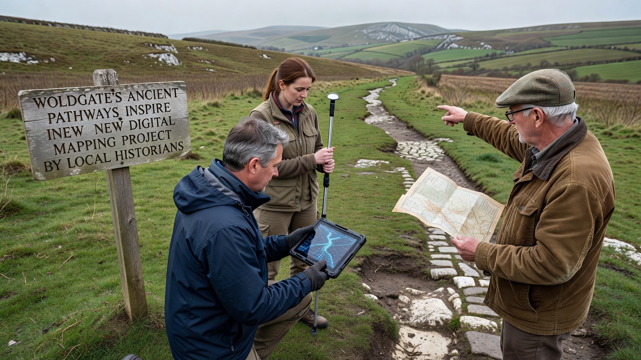
Local historians in the East Riding of Yorkshire have begun a digital mapping project that draws directly from the ancient pathways running through Woldgate, and this initiative combines archaeological records with modern geospatial technology to document routes that date back centuries. Researchers note that these pathways, some of which align with known Roman and prehistoric trackways across the Yorkshire Wolds, provide a foundation for understanding regional movement patterns and settlement history. The effort involves collaboration among several local history groups who have collected field notes, old maps, and oral accounts over many years.
Tracing the Origins of Woldgate Pathways
Evidence from excavations and geophysical surveys shows that the routes around Woldgate served as vital connections between settlements long before modern roads existed. Historians observe that alignments with Roman roads, such as those documented in regional surveys, suggest continuous use through medieval periods as well. Data from the Yorkshire Wolds indicates multiple layers of path construction, including earthworks and boundary markers that remain visible in aerial imagery. One study coordinated by university researchers mapped similar features across the broader Wolds area and found consistent patterns of east-west travel corridors that match surviving segments near Woldgate.
Archival documents from estate records and tithe maps further support these observations, and they reveal how local communities maintained these tracks for trade and agriculture. Observers note that the integration of LiDAR data with traditional survey methods has revealed previously hidden features, such as holloways and field boundaries, that extend the known network beyond what paper records alone could show.
Digital Tools Driving the Mapping Initiative
The project employs open-source geographic information systems alongside custom database platforms to layer historical data onto current terrain models. Participants collect GPS coordinates during site visits, then cross-reference them with satellite imagery and ground-penetrating radar results. According to reports from the Archaeology Data Service, similar approaches have improved accuracy in documenting linear features across rural landscapes in northern England. Historians working on the Woldgate effort add metadata from period documents to each mapped segment, creating searchable records that link physical locations to dated events and land-use changes.
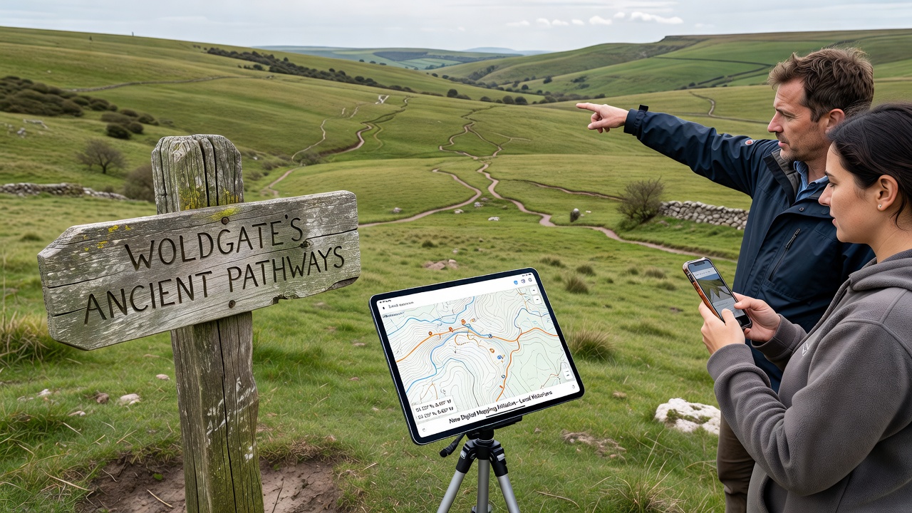
Community volunteers contribute photographs and written descriptions that supplement the technical layers, while a central online portal allows public access to selected datasets. Those involved report that the system supports queries by date range, route type, and associated archaeological finds, which helps identify gaps in existing coverage. Training sessions held throughout the spring and summer have prepared additional participants to maintain consistent recording standards.
September 2026 Milestones and Public Engagement
Project leads have scheduled a series of public launches and data releases for September 2026, including an interactive web map and a series of guided walks along preserved sections of the pathways. Organizers plan to present preliminary findings at local heritage events, where attendees can view sample layers that combine LiDAR elevation models with historical route overlays. Figures from comparable initiatives in other UK regions indicate that such digital releases often increase community participation in preservation activities by measurable margins.
Workshops scheduled during that month will focus on teaching residents how to contribute new observations through the project's mobile app. Historians expect these sessions to generate additional data points from previously undocumented side tracks that branch off the main Woldgate alignments. Coordination with regional archives ensures that any new material meets established cataloguing standards before integration.
Broader Context and Supporting Research
Studies conducted by institutions such as the University of York have demonstrated how digital mapping enhances understanding of connectivity across ancient landscapes. Research indicates that routes like those near Woldgate formed part of larger networks linking coastal areas with inland settlements, and this perspective aligns with findings from geophysical work completed in adjacent parishes. A separate report issued by the Council for British Archaeology highlights the value of combining citizen science with professional oversight to expand coverage of under-documented rural heritage.
One case from a parallel project in eastern England showed that public contributions helped identify three previously unrecorded holloways within a single season. Observers note that the Woldgate team applies similar verification protocols, ensuring each submission undergoes review by at least two trained volunteers before acceptance into the main dataset.
Conclusion
The digital mapping project continues to expand its records of Woldgate's ancient pathways through systematic data collection and community involvement. Scheduled activities in September 2026 mark the next phase of public access and further documentation. Historians maintain that ongoing integration of new findings with established archaeological sources will support future research into regional movement and land use across the Yorkshire Wolds.