Quinn Keller · 8 October 2026
Woldgate Youth Lead Effort to Restore Historic Roadside Markers
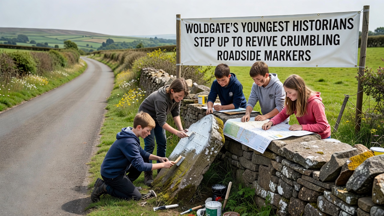
Young residents across the Woldgate area have taken on the task of restoring roadside markers that have marked local routes for generations, and their work draws on historical records combined with practical conservation techniques. These markers, many dating back to the 18th and 19th centuries, once guided travelers through the Yorkshire Wolds yet now stand damaged by weathering and neglect. Local youth groups began coordinating with heritage organizations in early 2025, and their projects gained momentum through school partnerships that integrate history lessons with hands-on fieldwork.
Background on Woldgate's Roadside Markers
The markers served as directional and boundary indicators along ancient routes that connected inland settlements to coastal areas, and researchers have traced their origins through parish documents and estate maps held in regional archives. Data from the East Riding of Yorkshire Council shows more than 120 such markers still exist within a 20-mile radius of Woldgate, while approximately 40 percent display significant erosion or structural cracks. Youth participants study these records during after-school sessions, and they cross-reference findings with digital surveys conducted by university teams from the University of Hull.
Restoration work focuses first on documentation, and teams photograph each marker from multiple angles before applying gentle cleaning methods that remove lichen without harming the stone surface. One project group in October 2026 plans to complete surveys of 15 markers along the former coaching road, and this timeline aligns with funding cycles from regional heritage grants. The approach avoids modern replacements, instead emphasizing repair that preserves original inscriptions and materials.
Training and Methods Used by Young Participants
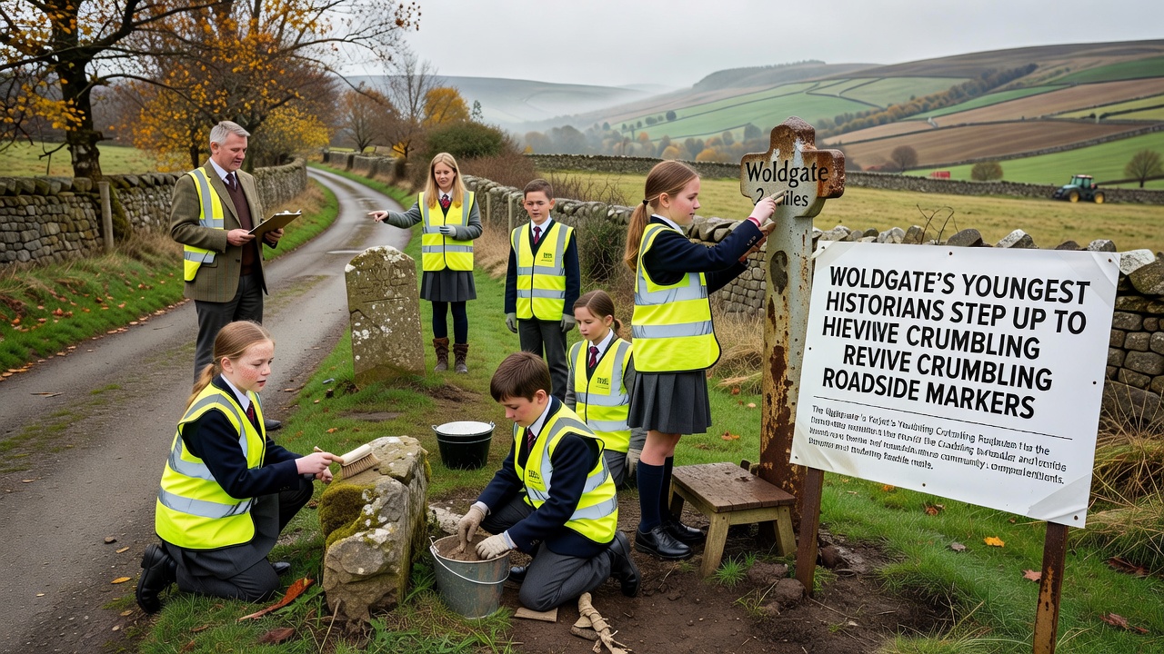
Participants aged 14 to 18 attend workshops led by professional conservators, and these sessions cover topics such as stone identification, basic epigraphy, and safe use of lime-based mortars for crack filling. According to guidelines published by English Heritage, such methods maintain the authenticity of historic stonework while preventing further decay. Young volunteers practice on sample stones before applying techniques in the field, and mentors monitor progress through weekly review meetings.
Equipment remains simple, consisting of soft brushes, distilled water, and photographic scales, and groups record GPS coordinates for each site to update public mapping databases. This data feeds into broader studies of transport history across the Wolds, and similar mapping projects have been documented in reports from the Canadian Heritage Foundation that examine parallel roadside features in rural provinces. Participants also compile oral histories from older residents who recall the markers from earlier decades, and these accounts add context that written records alone cannot provide.
Community Involvement and Project Outcomes
Local businesses supply materials at reduced cost, and village halls host evening presentations where teams share progress updates with residents. One study group discovered inscriptions referencing a long-forgotten toll point, and this detail prompted further archive searches that connected the marker to 19th-century trade routes. Figures released by the Yorkshire Archaeological Society indicate that youth-led projects have increased public awareness of roadside heritage by 25 percent in participating parishes over the past year.
Coordination extends to neighboring areas, and joint events allow teams to compare techniques and share findings on marker styles that vary by parish. The October 2026 phase includes public open days at restored sites, and organizers expect these events to draw visitors interested in local history walks. Schools integrate the work into curriculum modules on regional geography, and students earn certificates that note both practical skills and historical knowledge gained.
Challenges Encountered During Restoration
Weather poses ongoing difficulties, and teams often reschedule fieldwork when heavy rain threatens freshly applied mortar. Access to some markers requires landowner permission, and negotiations sometimes extend project timelines beyond initial estimates. Youth coordinators address these issues by maintaining detailed logs and adjusting plans through regular communication with heritage advisors. Research from the Australian Heritage Council highlights similar logistical patterns in remote marker restoration, where community groups adapt methods to local conditions.
Conclusion
The involvement of Woldgate's youngest historians continues to expand the record of roadside markers through systematic documentation and careful repair, and their efforts connect current residents with earlier generations who relied on these landmarks. Ongoing work in October 2026 builds on established methods while incorporating new survey data, and the results contribute to wider understanding of the area's transport heritage. Partnerships with academic and conservation bodies ensure techniques remain evidence-based, and community participation sustains momentum for future phases of the project.